
It will come as no surprise to pothole-dodging grey nomads to learn that the flood-ravaged road network in many parts of the country will take months, if not years, to repair.
In WA, for example, sections of the highway around Fitzroy Crossing were completely washed away in the recent one-in-100-year flood event, while the badly-damaged Fitzroy Crossing Bridge will need to be fully replaced.
The State Government there recently outlined its plan to reconnect the Great Northern Highway at Fitzroy Crossing.
The plan will involve the implementation of a barge system across the river, which will initially be operated by tugs, with a cable system to be operationalised shortly after.
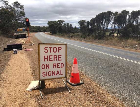
Roadworks are going to be fact of life for a long time to come. PIC: WA Main Roads
The barge system will be used while Main Roads constructs a low-level floodway crossing, which will provide a more permanent option while the full replacement of the Fitzroy Crossing Bridge is undertaken.
Main Roads is considering appropriate locations for the low-level floodway crossing, with construction expected to take around four months to complete.
Planning for a new bridge across the Fitzroy River is also well under way. The new bridge will need to be higher and longer, and will be dual-lane, rather than the current single-lane bridge.
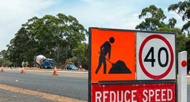
The South Australian road network has been hit hard by flooding. PIC: SA Department for Infrastructure and Transport
Meanwhile, heavy machinery and a 40-person strong road reconstruction crew continue to carry out repair works on the severely damaged section of the Great Northern Highway through Willare.
The crews are working from both ends of a damaged 10-kilometre section of the highway and will be putting in place temporary gravel roads to allow for the reconnection between Broome, Derby and Fitzroy Crossing.
It is anticipated the works on the Willare section will take a few more weeks to complete, with planning under way for a full road rebuild to begin in the dry season.
Kimberley MLA, Divina D’Anna, said it was clear that there was a need for a new bridge.
“This will be a long-term project and I recognise the need for interim solutions in the meantime, that apply learnings from this flood event,” she said. “The combination of barges and the construction of a low level-crossing means we can adapt to the variable conditions we experience in the Kimberley across the year, including changes to the river level.”
Across in South Australia, former Infrastructure and Transport department chief Rod Hook said the road network ravaged by River Murray floodwaters was unlikely to be fully repaired for at least 12 months,
He told Adelaide’s Sunday Mail that the extent of the damage would not be fully known until water levels receded sufficiently in another month or two. However, he warned that extensive works to repair roads would take about a year, and two years if bridges and culverts had to be redesigned and rebuilt.
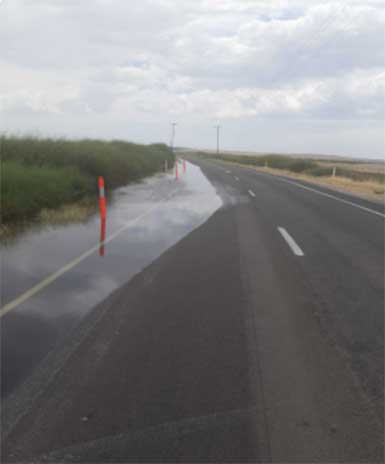
The roads ahead will look something like this for a long time to come. PIC: WA Main Roads
“If you’ve got to come up with something that needs a design, you might be heading towards a couple of years,” Mr Hook told the Sunday Mail. “If it’s just roads that need to be reworked, you’re probably talking a year’s worth … they may be able to do a temporary patch and put cars back on roads with some speed restrictions.”
Mr Hook, who was the Planning, Transport and Infrastructure Department’s chief executive from 2011 to 2014, stressed he had not inspected the Riverland and Murraylands road network but said fixing any road that had gone underwater was ‘quite precarious’.
“The water will gradually go down, then you can really know the extent of what you got to do,” he said. “If it’s something you can do by repacking and resealing, I would anticipate you’ve probably got a good year of work … but if it’s dealing with culverts that have been damaged, sub-base that’s been pulled away, or any bridges that have footings that have been damaged, you could have some quite extensive works that need to be done.”
Are you a Grey Nomad member yet? Click here to find out about the discounts, competitions and other benefits on offer.


A road duplication is what is needed for the Nullabor as well as up the west coast of WA. If they don’t do that this time, being cut off for some time will happen again and again. Remember some years back the Nullabor was shut for 3months due to flooding. We are lucky on the east coast with many duplications, not so in the west, south and even including the Stuart hwy to Darwin. The roads in Australia have to be properly fixed up to avoid the issue in the future.
Would love to know about the NSW roads as I think they copped more damage than any other state
Interested to know how the barge will go when the water drys up & the river flows under the sand as it normally does. We had state ships once ???
I’ve put off my solo half lap till next year S.A. N.T. W.A. S.A. for several reasons but the floods/road damage was the deciding factor. Covid put it off before, but I’ll have to go next year or I’ll be past it physically.